
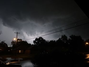
Sapulpa is currently undergoing a severe amount of rain and flooding, and there’s a chance for tornadic activity as well. As of this writing, Creek County is under a tornado warning, with rotation being spotted near Mannford.
Aside from asking about public tornado shelters, readers have also began asking about sirens. Where are they? Am I close enough to hear one?
Well thankfully, the City of Sapulpa has provided a map of tornado sirens. We’ve embedded it below.

Sapulpa police say that they recently upgraded their computer system that will automatically fire the sirens if a tornado gets detected within three miles of the town, and in addition to that, it tests weekly with a silent alarm to ensure that all sirens are functioning. In late March, SPD found and fixed three tornado sirens, according to a report at fox23.com
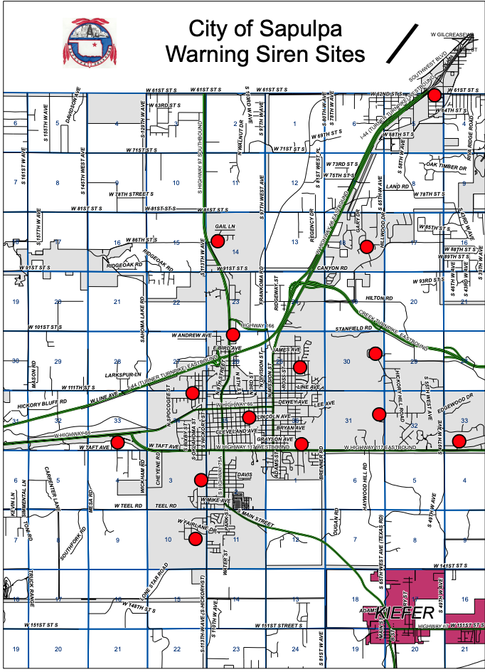
Carl Prescott, GIS Database Administrator & Floodplain Administrator for the City of Sapulpa, says that the map is outdated as far as the city limits are concerned, but that all the sites are listed and accounted for.
Sapulpa is currently under a flash flood warning until 2:45am – stay tuned to Sapulpa Times for the latest, or follow us on our Facebook Page for regular updates.